What you'll learn
- Name all 7 continents and find each one on a world map
- Name the 5 oceans and know where each one lies
- Tell the difference between a continent, a country and an ocean
- Know that a globe is a round model of the Earth
- Use an atlas contents page to find the right map
- Find the UK and name England, Scotland, Wales and Northern Ireland
Chapter by chapter
- The 7 continents: names and places on a world map Free to try
Years 1–2 geography · 1
- The 5 oceans: names and places on a world map
Years 1–2 geography · 1
- Using a world map: labelling continents and oceans
Years 1–2 geography · 1 Years 1–2 geography · 2
- Using a globe: finding continents and oceans on a round Earth
Years 1–2 geography · 2 Years 1–2 geography · 1
- The United Kingdom and its 4 countries in an atlas, map and globe
Years 1–2 geography · 2
- World Explorer challenge (10 questions)
What the chapters cover in the national curriculum in England:
- Years 1–2 geography: Name and locate the world's 7 continents and 5 oceans
- Years 1–2 geography: Use world maps, atlases and globes to identify the United Kingdom and its countries, as well as the countries, continents and oceans studied at this key stage
About this adventure
Continents and Oceans is an interactive geography game that teaches children aged 5–7 to name and locate the world's 7 continents and 5 oceans, and to find the United Kingdom and its 4 countries. It follows the KS1 geography curriculum in England.
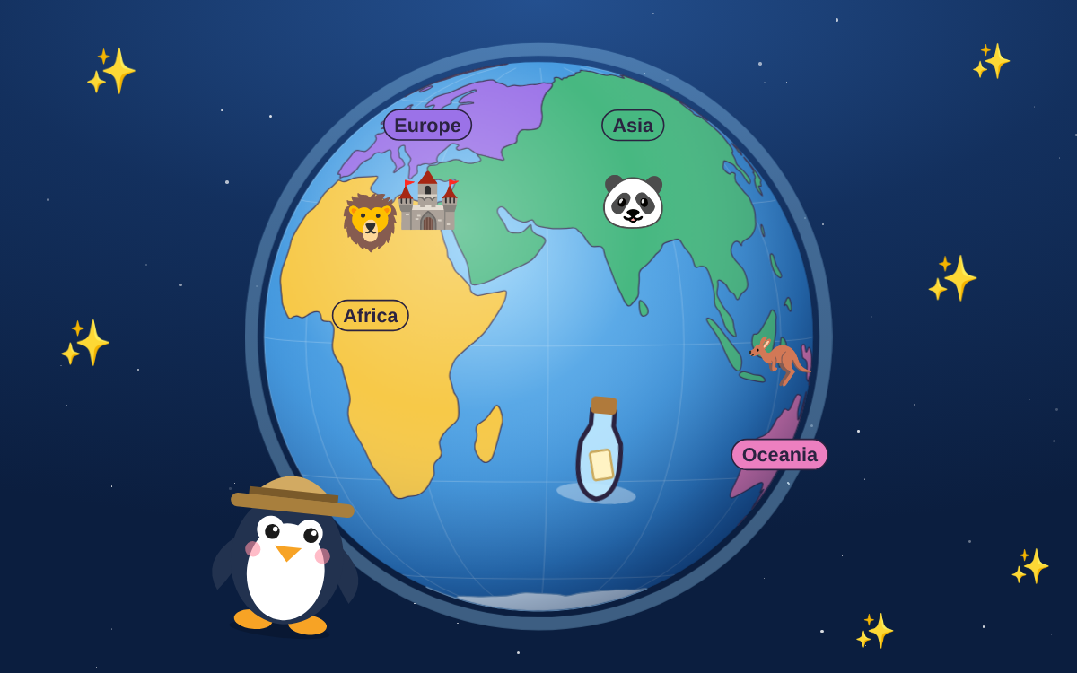
Pip the penguin guides players with spoken narration and short captions. Children watch a spinning globe open out into a flat world map, tap continents to meet them and drag labels back onto the map. They learn that a continent is a giant piece of land, an ocean is a huge area of salty water, a globe is a round model of the Earth and an atlas is a book of maps.
Along the way they discover why the Pacific Ocean appears on both sides of a world map, and that the Republic of Ireland is not part of the UK. A 10-question challenge at the end checks what they remember.
Questions and answers
What are the 7 continents?
The 7 continents are North America, South America, Europe, Africa, Asia, Oceania and Antarctica. Oceania is sometimes called Australia or Australasia. Asia is the biggest continent and Oceania is the smallest.
What are the 5 oceans of the world?
The 5 oceans are the Pacific, Atlantic, Indian, Arctic and Southern Oceans. The Pacific is the biggest and deepest, the Arctic is the smallest, and the Southern Ocean goes all the way around Antarctica.
What is the difference between a map, a globe and an atlas?
A globe is a round model of the Earth, while a world map shows the same world laid out flat so you can see it all at once. An atlas is a book full of maps, with a contents page to help you find each one.
What age is this continents and oceans game for?
The game is made for children aged 5 to 7 and matches KS1 geography in England, where continents and oceans are usually taught in Year 2. Spoken narration and short captions mean early readers can play on their own.
What does the game include and how long does it take?
The game has 5 chapters plus a final challenge, and takes about 50 minutes to play everything. Children can start any chapter from the chapter map, so it works well in shorter sessions too.
 TapLearn